Conclusion
Enlightenment ideals influenced the creation of Virginia’s long eighteenth century “mother maps.” A Map of the Most Inhabited Parts of Virginia and A Map of Virginia provided scientific data that had been verified in the field by surveyors. Their work was not based upon earlier maps that had been engraved and published in Amsterdam, Frankfurt, London, or Paris. They are also American products, the information given is based upon traverse surveying and the placenames and topographic arrangement acknowledge local input. However, it still is not clear who else contributed to their creations. At this time, a list of sources has not been unearthed and scholars must surmise possible sources based upon records extant at that time. Nevertheless, they are monumental works of scientific reasoning and art.
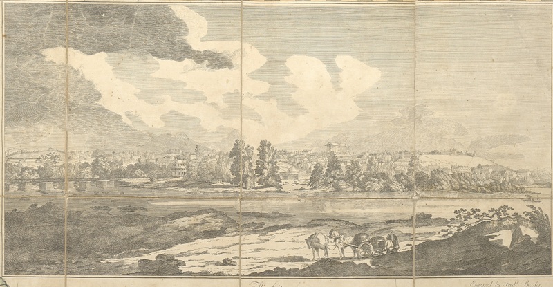
[View of Richmond, Virginia]
"View of Richmond, Virginia." Madison, James, William Davis, and Fred Bossler. A Map of Virginia : Formed from Actual Surveys, and the Latest as Well as the Most Accurate Observations. Richmond: By the Proprietors, 1807. https://lva.primo.exlibrisgroup.com/permalink/01LVA_INST/altrmk/alma990016112300205756