Eighteenth Century Virginia Surveyors
Surveyors in eighteenth century Virginia were native-born and immigrant and all were considered gentlemen who served on county courts, and as sheriffs, clergymen, coroners, tobacco agents, planters, mill owners and merchants. Very few were elected to serve in the House of Burgesses or were wealthy enough to be appointed to the Governor’s Council. Their status was reflected, also, in acreage owned and in the frame dwellings in which they lived that were staffed with glassware, imported brass door handles, and other genteel market products. Their properties included several outbuildings like kitchens, laundries, smokehouses, barns, stables, and schoolrooms. Their profession was regulated, and fees were set by the General Assembly. By the 1740s surveyors were required to live in-residence to be appointed county surveyor, an appointment made by the General Assembly and confirmed by the county court. The General Assembly received nominations from the Surveyor General’s office which was supervised by the board of trustees for the College of William and Mary. Surprisingly, William and Mary trained few surveyors.[1]
Virginia’s surveyors were trained in the classroom and in the field. Their textbook of choice was John Love’s Geodasia or, the Art of Surveying and Measuring Land made Easy. The tools of their trade included a magnetic bearing compass, a theodolite, Gunter’s chain, Gunter’s scale, and brass dividers. Colonial surveyors practiced traverse surveying or surveying by compass bearing because of the immense of amount of land surveyed. Their work included measuring and laying out metes and bounds for land patents, property lines, county and colonial boundaries, and towns which were platted by pen, pencil, and watercolor to a sheet of paper.[2]
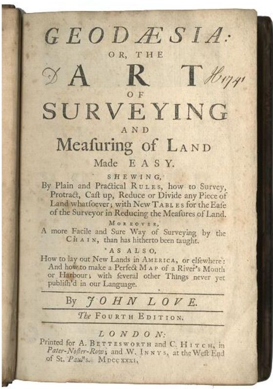
Geodaesia, or, The Art of Surveying and Measuring of Land Made Easy.
Love, John. Geodaesia, or, The Art of Surveying and Measuring of Land Made Easy : Shewing ... How to Survey, Protract, Cast up, Reduce or Divide Any Piece of Land Whatsoever, with New Tables for the Ease of the Surveyor in Reducing the Measures of Land : Moreover, a More Facile and Sure Way of Surveying by the Chain ... : as Also, How to Lay Out New Lands in America, or Elsewhere, and How to Make a Perfect Map of a River’s Mouth or Harbour ... The fourth edition. London: Printed for A. Bettesworth and C. Hitch in Pater-Noster-Row, and W. Innys, at the west end of St. Paul’s, 1731. https://lva.primo.exlibrisgroup.com/permalink/01LVA_INST/altrmk/alma990001205230205756
[1 Sarah S. Hughes, Surveyors and Statesmen: Land Measuring in Colonial Virginia (Richmond, Va.: The Virginia Surveyors Foundation, Ltd. And The Virginia Association of Surveyors, Ltd., 1979).
[2] Ibid.